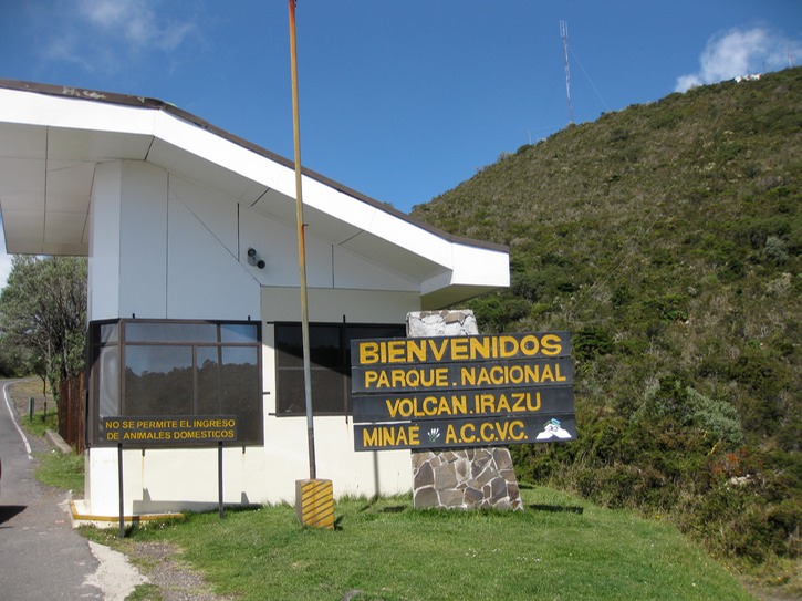
Welcome to Irazu Volcano National Park
Today we did a short day trip to the Irazu (ara—peak of tzu—thunder) Volcano. It’s the highest one in Costa Rica and it’s been inactive since the early 60s. However, there were 9 tremors felt in the area within a 30 minute period on March 2, 2010. Scared the you know what out of the locals.
It’s takes a little more than hour to drive there from San Jose and the weather was perfect. Actually got to see into the crater but when we got to the lookout at the summit (11,250 plus ft) the clouds started to roll in and it pretty much obscured the view of the craters...but it did clear up enough to get a glimpse at the higher elevation.
It’s a stark landscape but we did see a mooching coati at the snack bar and there were quite a few hummingbirds buzzing around. Other than that, the only monkey to be seen was a stuffed one!
Oh yeah, we use a SPOT GPS to keep in touch with family while we travel and to keep track of where we’ve been. The satellite imagery taken for Irazu is pretty cool. If you’re into Google Earth or Google maps plug in these coordinates:
9.97671,-83.85313
We got these at the summit at 11,250 ft. If you zoom in on the lake in the crater it looks like there was significantly more water in it than there is now. The pictures are so clear you can even see some of the buildings and the trails. I wonder how long ago these pictures were taken?